View Options for pictures
 |
Bay of Islands (55 pictures)
The Bay of Islands region has the finest maritime park in New Zealand with the 144 Islands and secluded bays.
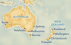
Auckland (39 pictures) There are 48 volcanic cones and more than 50 islands in the Auckland region and that is why 1.3 million people call this area their home. Rotorua (55 pictures) Rotorua is a region of fascinating geothermal activity and displays the unique culture of New Zealand’s Maori people. Christchurch and Lyttleton (38 pictures) Christchurch is known as the 'most English city outside England'. Otago Penisula and Dunedin (59 pictures) Dunedin was settled by Scottish pioneers and its name is the Gaelic word for Edinburgh. |
|
Fiordland National Park (27 pictures)
This is the largest national park in New Zealand and one of the most famous in the world. It has 14 spectacular fiords.
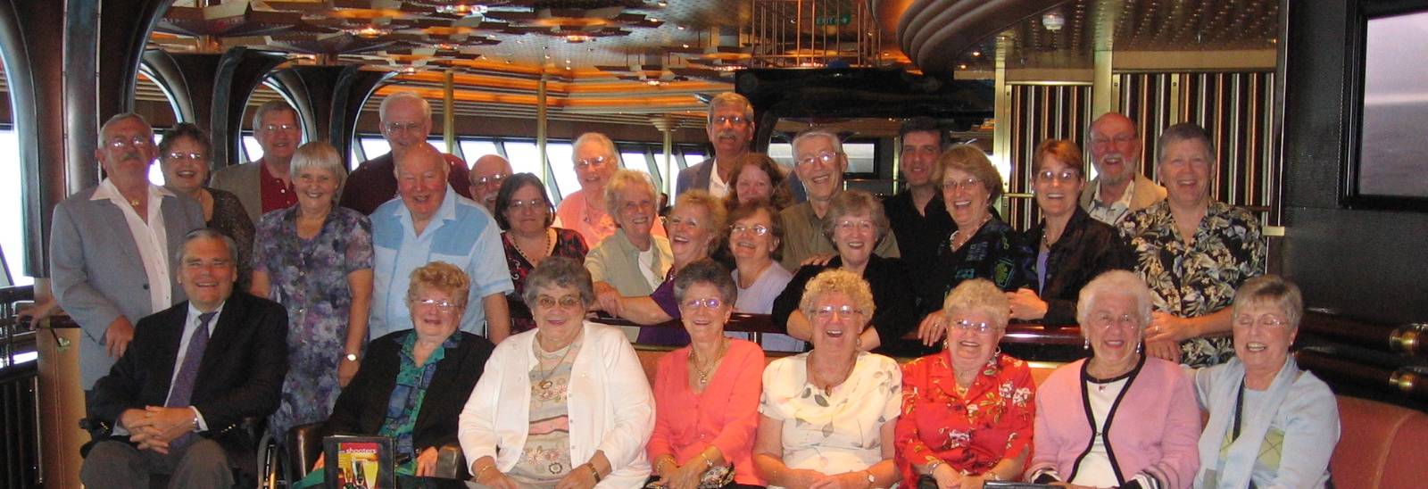
Hobart, Tasmania (59 pictures) Located at the mouth of the Derwent River, Hobart is built on the foothills of Mt Wellington. Melbourne, Victoria (44 pictures) The state of Victoria has the distinction of being founded by free settlers, not convicts. Sydney, New South Wales (56 pictures) Declared in 1788 as the finest in the world, Sydney Harbor has two famous landmarks, Harbour Bridge and Opera House. Blue Mountains, New South Wales (33 pictures) The vast forests of eucalypts (commonly called gum trees) discharge a fine mist of oil from their leaves. The mist refracts light, which makes the haze look blue at a distance. Ship (18 pictures) Our group at play. |
The "Group" of 29 from 7 US states and New Zealand
Eastwood Family Menu